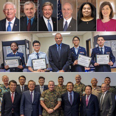
MOAA National
2024 MOAA Charities Golf Classic
Register for our annual event and support members of the uniformed services community in need.
Register for our annual event and support members of the uniformed services community in need.
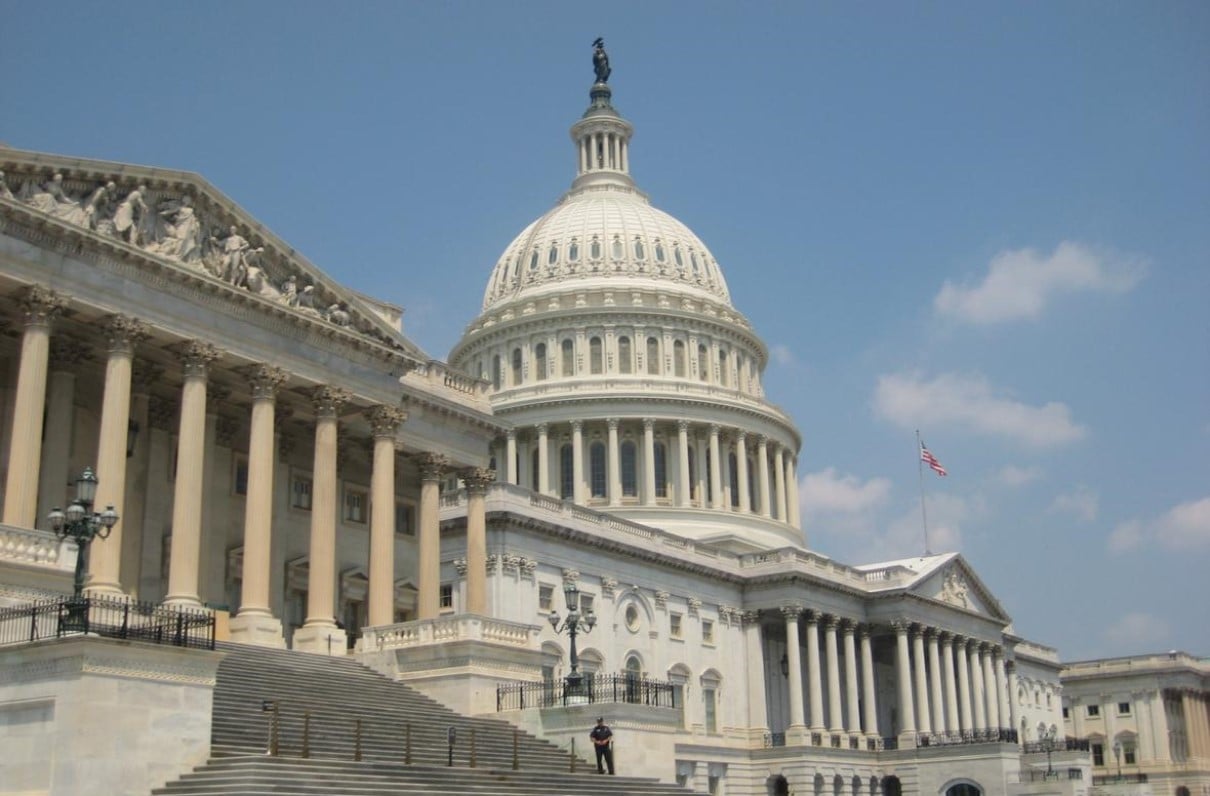
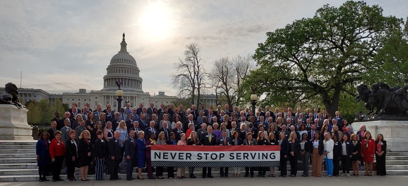
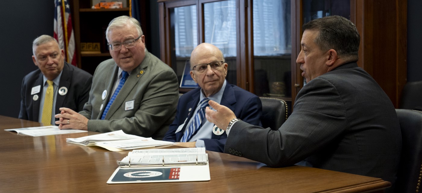
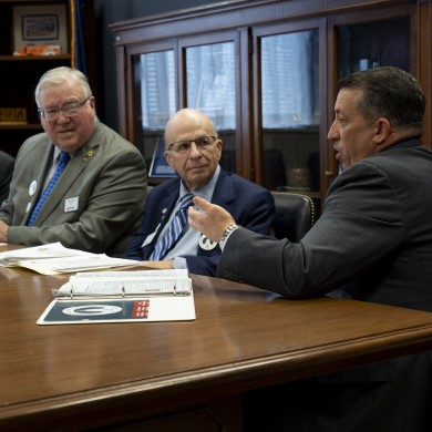
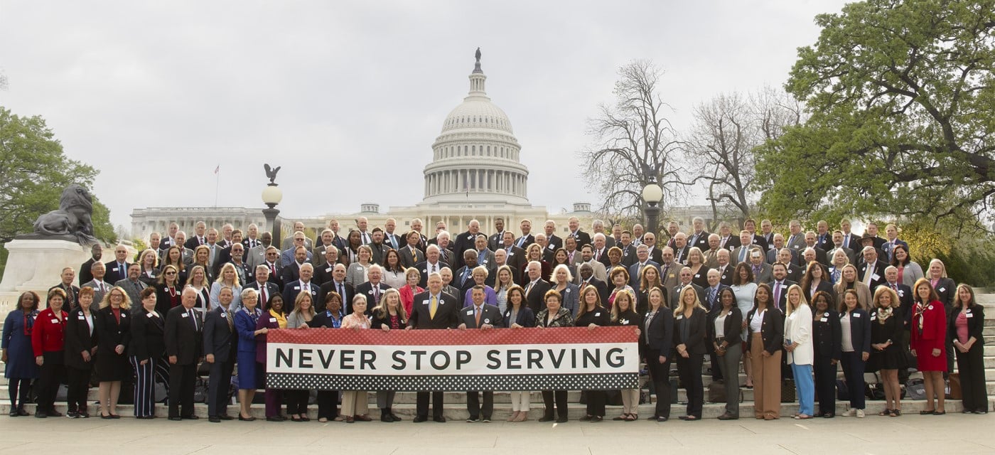
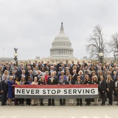
Your voice makes a difference. Learn how you can join our work on Capitol Hill.
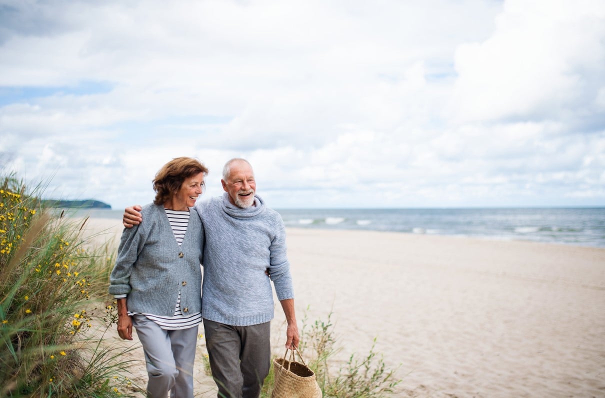
Begin your research on senior housing of all types across the nation.

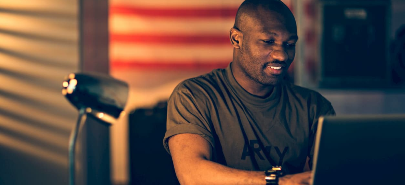
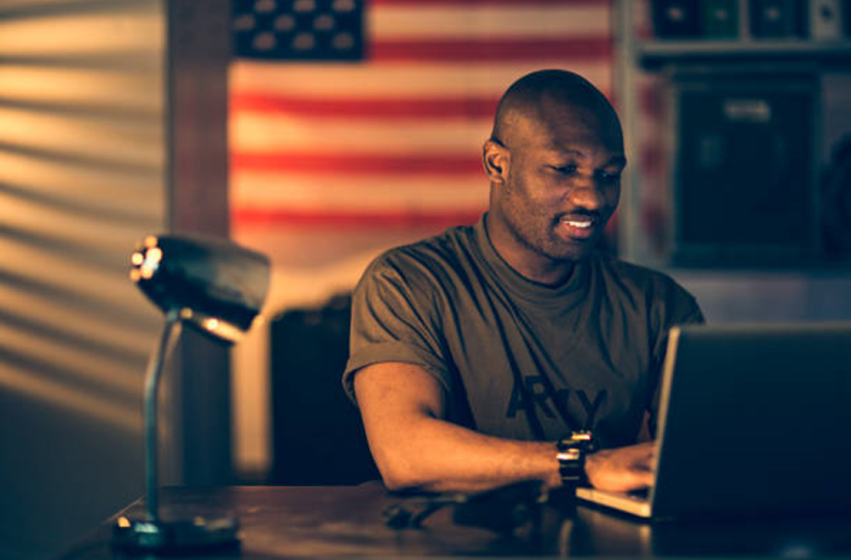
Artificial intelligence can set you apart from the rest of the job-seeking crowd. Find out how.
This workshop takes on topics skipped by programs geared toward active duty servicemembers.

Get expert advice on areas of interest for those nearing federal retirement or already out of the office.